Satellite Data for Human and Environmental Protection and Life Improvement


SHIELD - Satellite-based Human Impact and Environmental Land Data
SHIELD is a research chair dedicated to understanding how environmental change shapes human welfare. By combining satellite Earth observation with rigorous quantitative methods from economics and the social sciences, the chair produces new data and evidence on the mechanisms linking environmental dynamics—land use, resource extraction, climate variability—to conflict, inequality, and development outcomes.
The chair operates as a collaborative platform, bringing together researchers, data scientists, and policymakers to close the gap between high-resolution geospatial data and actionable knowledge. Its work spans the full research pipeline: from the construction of novel satellite-derived datasets to structural empirical analysis and policy transfer.
SHIELD is supported by the European Space Agency (ESA) and hosted within CERGIC (Center for Economic Research on Governance, Inequality & Conflict) at ENS de Lyon.
More about SHIELD
Discover our 4 pillars.
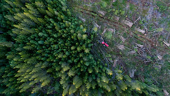
This pillar examines the human drivers and consequences of environmental degradation, with a particular focus on deforestation. By combining satellite imagery with socioeconomic data, it assesses how ecosystem loss, pollution, and land-cover change affect livelihoods, health, education, and migration.
PARTOUT
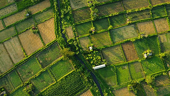
This pillar studies the resilience and productivity of agricultural systems in the face of climate change, soil degradation, and growing food demand. Satellite data make it possible to monitor crop health, estimate yields, detect environmental stress, and better anticipate food-security risks.
PARTOUT
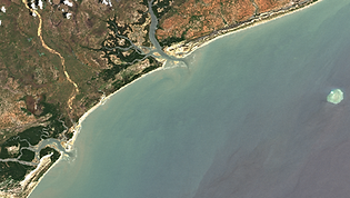
This pillar analyzes the economic, social, and environmental consequences of natural-resource extraction and water scarcity. Satellite observations are used to track mining activities, monitor water availability, and study how minerals and water resources shape incomes, health, migration, and conflict risks.
PARTOUT
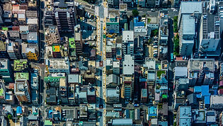
This pillar investigates how urban expansion and population movements reshape human living conditions, infrastructure needs, and exposure to environmental risks. High-resolution satellite data help map urban growth, land-use change, refugee settlements, and migration dynamics to inform more resilient and inclusive planning.
PARTOUT